


The 78-ton brigantine Advocate off Elizabeth Castle in 1849


The small town of St Helier viewed from the west in 1709

The original harbour and Elizabeth Castle in 1797

St Helier in the 18th century

A view of the town from the north in 1809

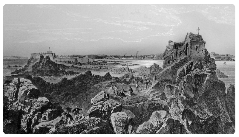
St Helier viewed from L'Hermitage to the south, also in 1809

Elizabeth Castle from the Harbour - drawn by Robert Mudie in 1840
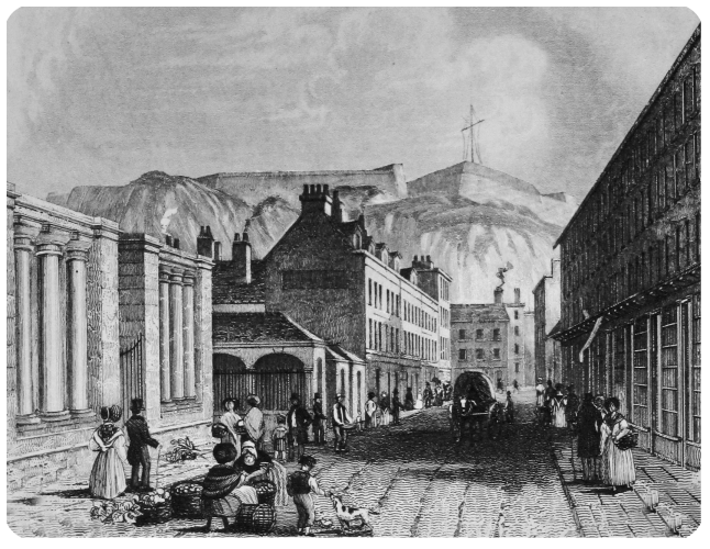
Robert Mudie's view of Halkett Place in 1840

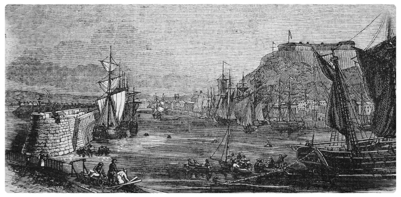
Robert Mudie's etching of St Helier Harbour in 1840 - the view is from South Pier

Fort Regent by Philip Ouless
St Helier Harbour in the mid-19th century

The harbour in 1855
Picnics at the Hermitage in a work by Felix Benoist

A French market depicted by Philip Ouless
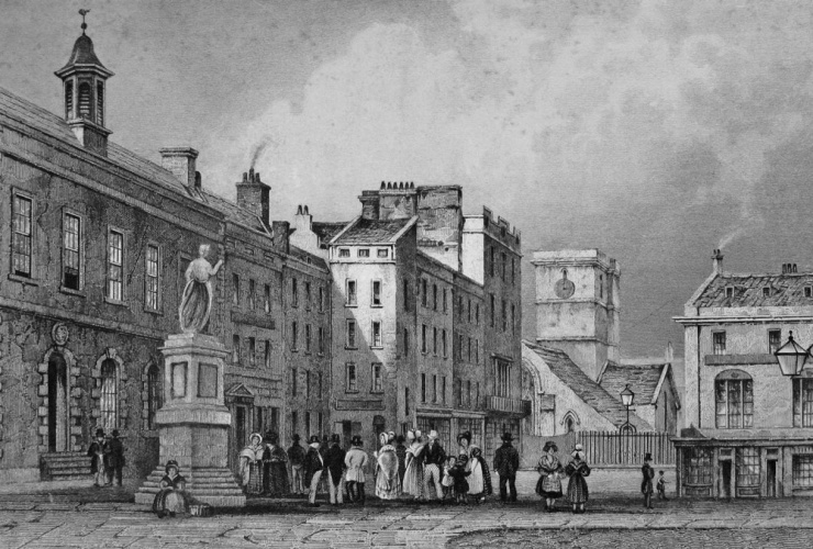
The Royal Square in 1840 by Robert Mudie

A similar view by Philip Ouless

South Hill in 1855

Queen Victoria arrives
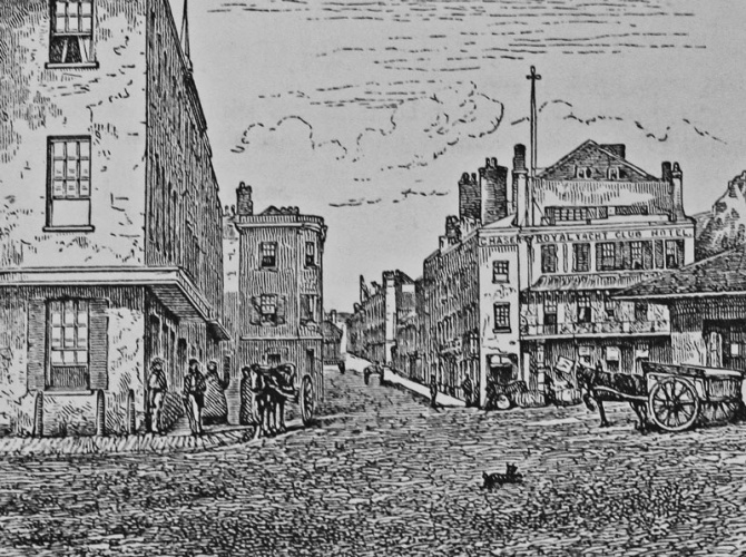
The Weighbridge in 1870

The dolmen found on Mont de la Ville


